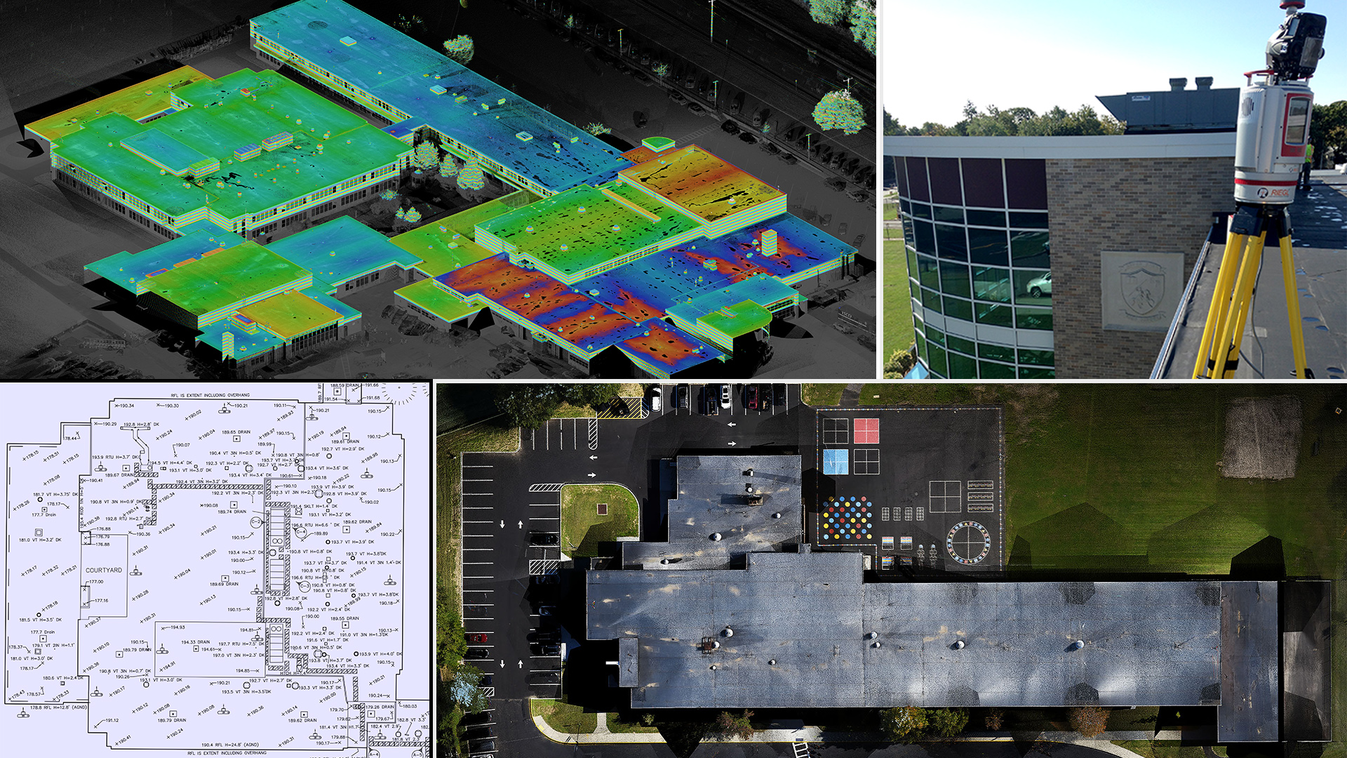
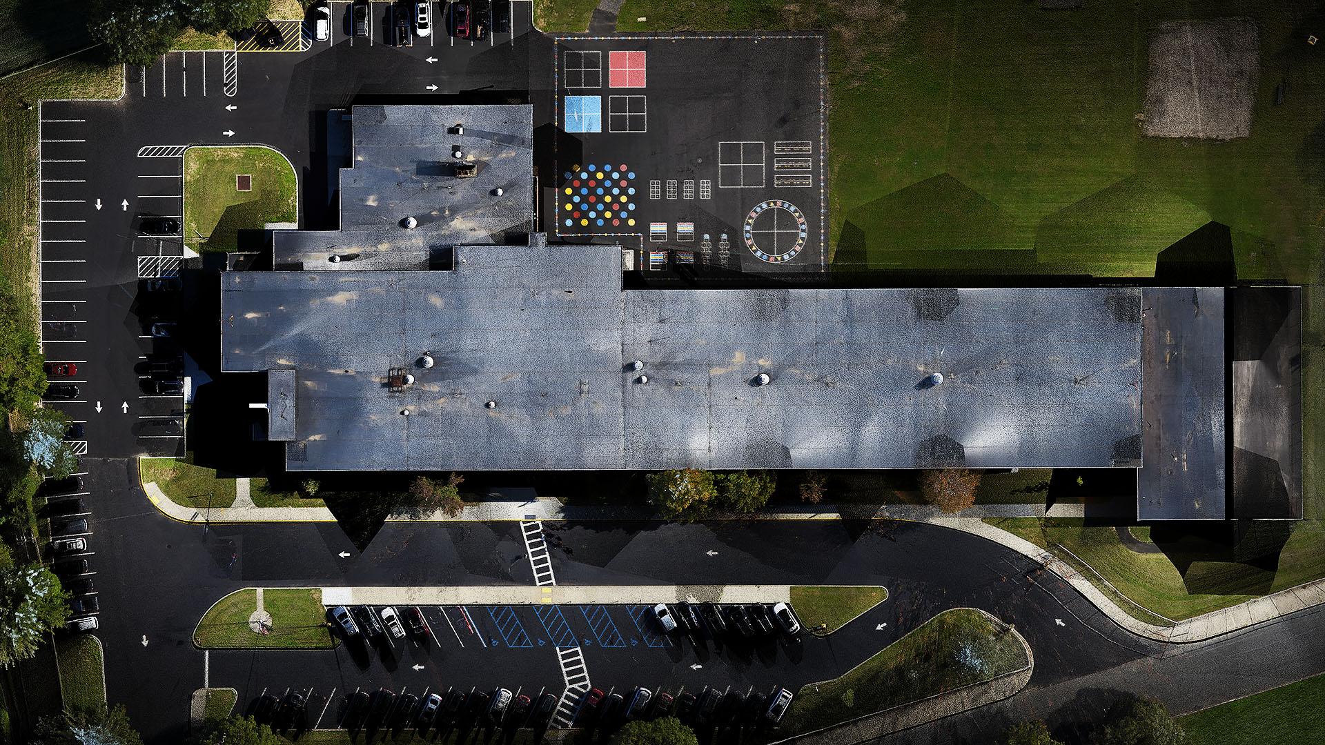
A comprehensive rooftop survey was required of two public schools in Kings Park Long Island, NY for successful solar panel deployment.
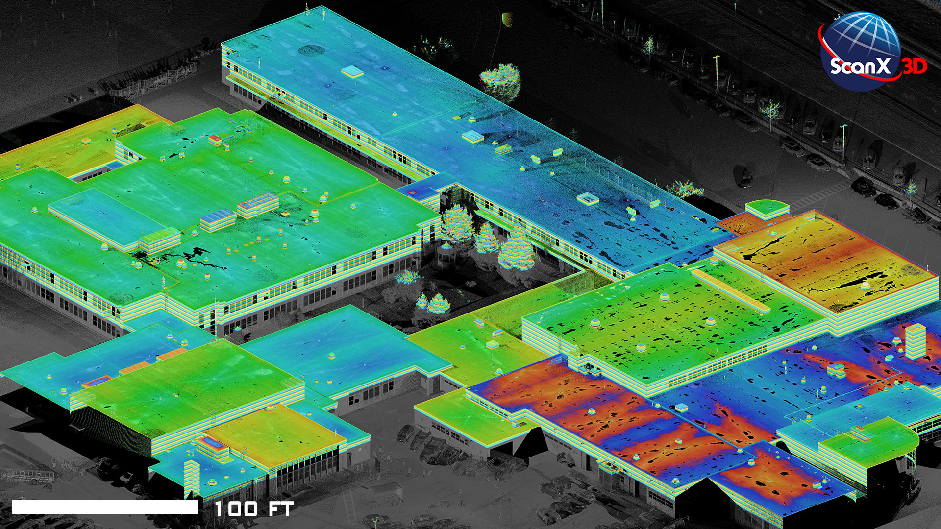
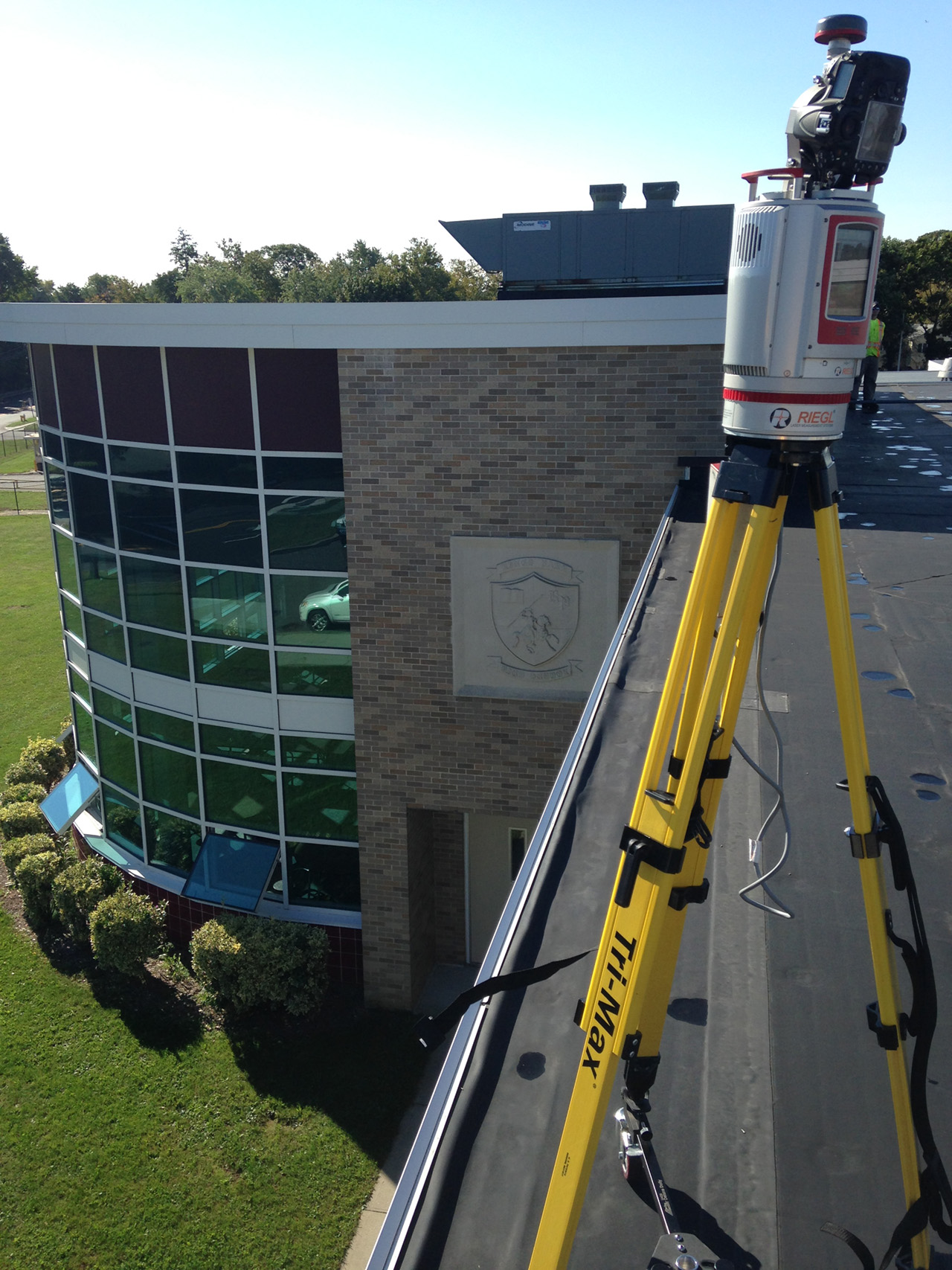
ScanX3D used terrestrial LiDAR techniques to collect high definition point cloud data of the roofs including, roof outlines, drainage, vents, HVAC, and other prominent features. Scans were tied to state plane coordinates by placing targets on GNSS derived control points on and off the roof. It was necessary that the heights of all features on the roof be noted as well as attached photographs. This was quickly achieved by utilizing 3D data and calibrated HD panoramic imagery.
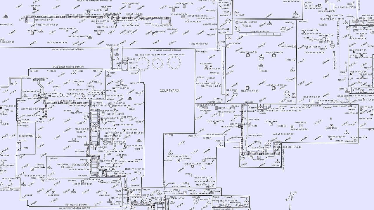
The traditional 2D plan was efficiently extracted from the point cloud by ScanX3D technicians using Certainty3D’s TopoDOT software for Bently and delivered in Civil3D format. The field time was reduced while collecting more information than a conventional survey crew without chance of error.


