STATIC LIDAR SCANNING

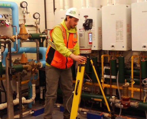
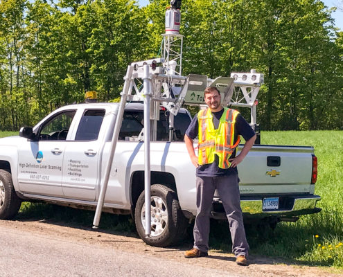
ScanX3D utilizes 3D laser scanning, also known as LIDAR (Light Detection And Ranging), to obtain three dimensional data products. Our highly accurate(5mm) and precise(3mm) Terrestrial Laser Scanner, the RIEGL VZ400i, rapidly acquires up to 500,000 measurements per second.

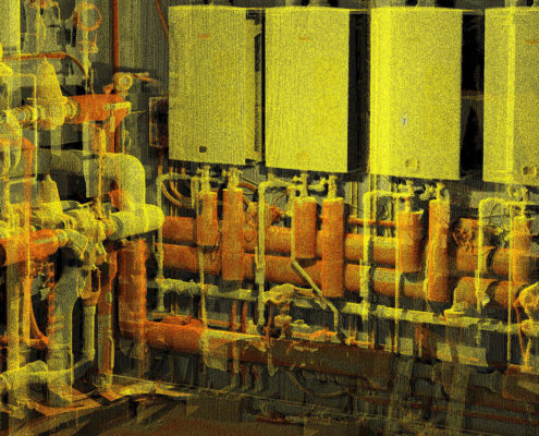
The scanner produces full 100°x360° survey grade point clouds and captures high definition (~36MP) images for true colorization. Laser scan data is georeferenced and downloaded in real-time, through the integrated GNSS receiver and Wi-Fi transmitter. All scan data can be tied to horizontal and vertical site specific datum.

The multi-level data product allows for feature identification and accurate dimensioning. Measurements up to 800m in range are conducted safely (Laser Class 1) from the ground. Pointclouds can be digitally registered and processed at your desk anywhere on the planet. This directly results in a reduction of field work and overall project costs.

3D CAMERA

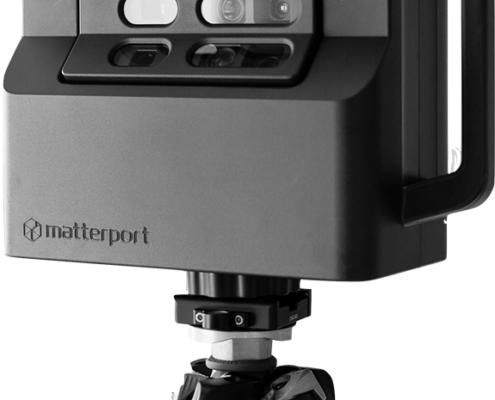
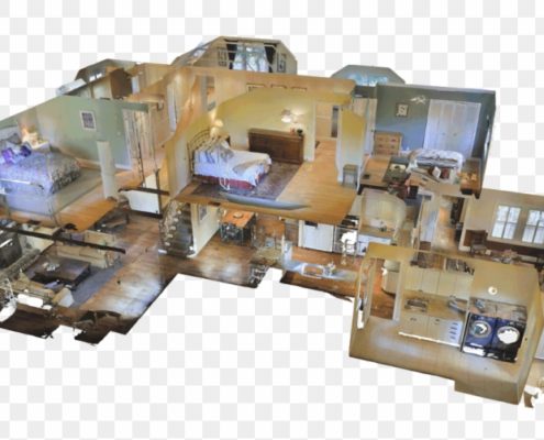
The Matterport Pro2 3D Camera is another tool that ScanX3D has to document interior spaces while capturing stunning visual products. The Pro2 uses structured infared light to measure 3D spaces while simultaneously capturing ultra high definition 4K imagery.

This instrument can be used to quickly document interior spaces for any number of applications that don’t require survey grade accuracy. A great option for those that wish to have schematic floor plans and 3D models that look remarkable and are easy to work with.

Embed these models on your webpage for marketing real estate or keep a digital version of your space for coordination, planning or maintenance.

The 3D Camera also produces pointclouds which can be processed the same way as LiDAR data.

ScanX3D has the expertise and equipment to be your 3D Laser Scanning partner. Tell us about your project and receive a free quote today.

Request a Quote