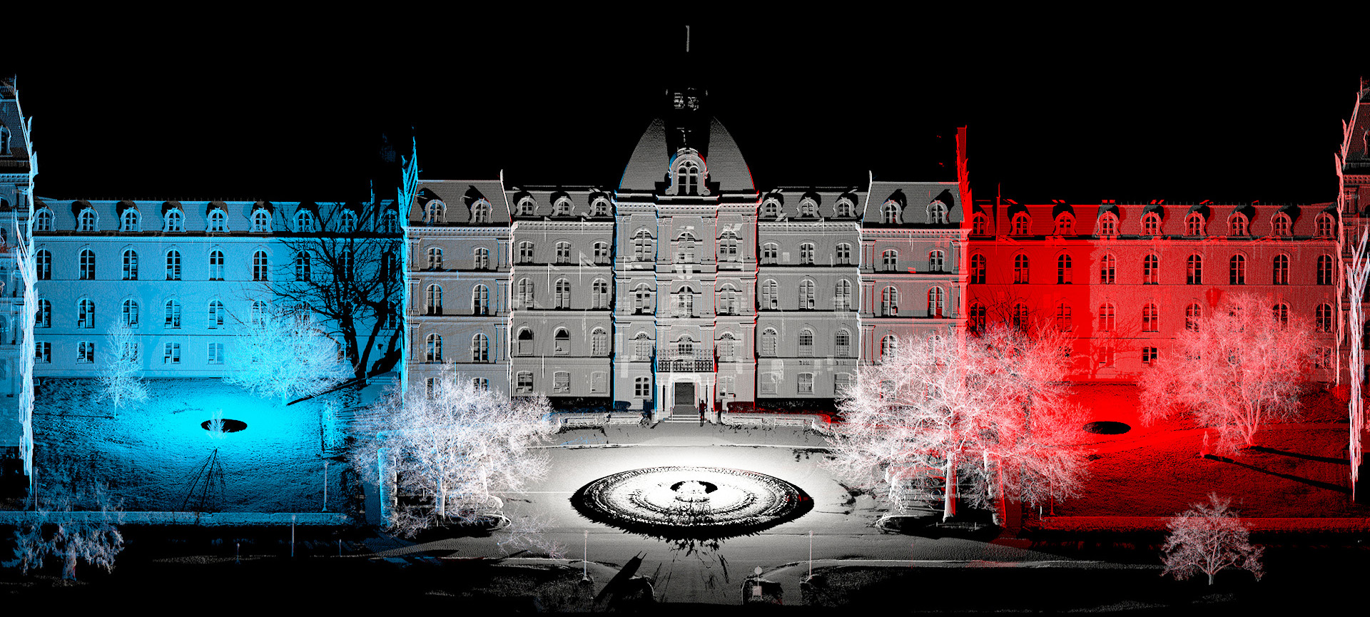
HEAD IN THE CLOUD
Pointclouds are a collection of millions or billions of individual measurement points from the surface of objects. They can be acquired by laser scanners, drones or 3D cameras. For example, high definition 3d laser scanners, such as the Riegl VZ-400i, acquire millions of lidar measurement points per position. Each measurement point contains X,Y,Z coordinates as well as other optical properties (reflectance, color, echo). Multiple scan positions are registered (stitched) to create pointclouds of an entire scene.
Pointclouds represent reality for powerful 3D visualization while providing geo-spatial information for accurate mapping. There are various ways to display pointclouds in order to highlight features or changes such as in elevation. They are used to create animations, orthoimages, plans, models, and web hosted digital tours. Pointclouds can be loaded into almost any CAD platform to perform standard fieldwork while at the convenience of a desk. This includes pulling measurements and extracting features such as Point IDs, 3D vectors, 3D Models, and surfaces (topography) with a complete perspective of the site.
Point Clouds
3D point data provides a wealth of information that our technicians can quickly sort through to meet the clients objectives

