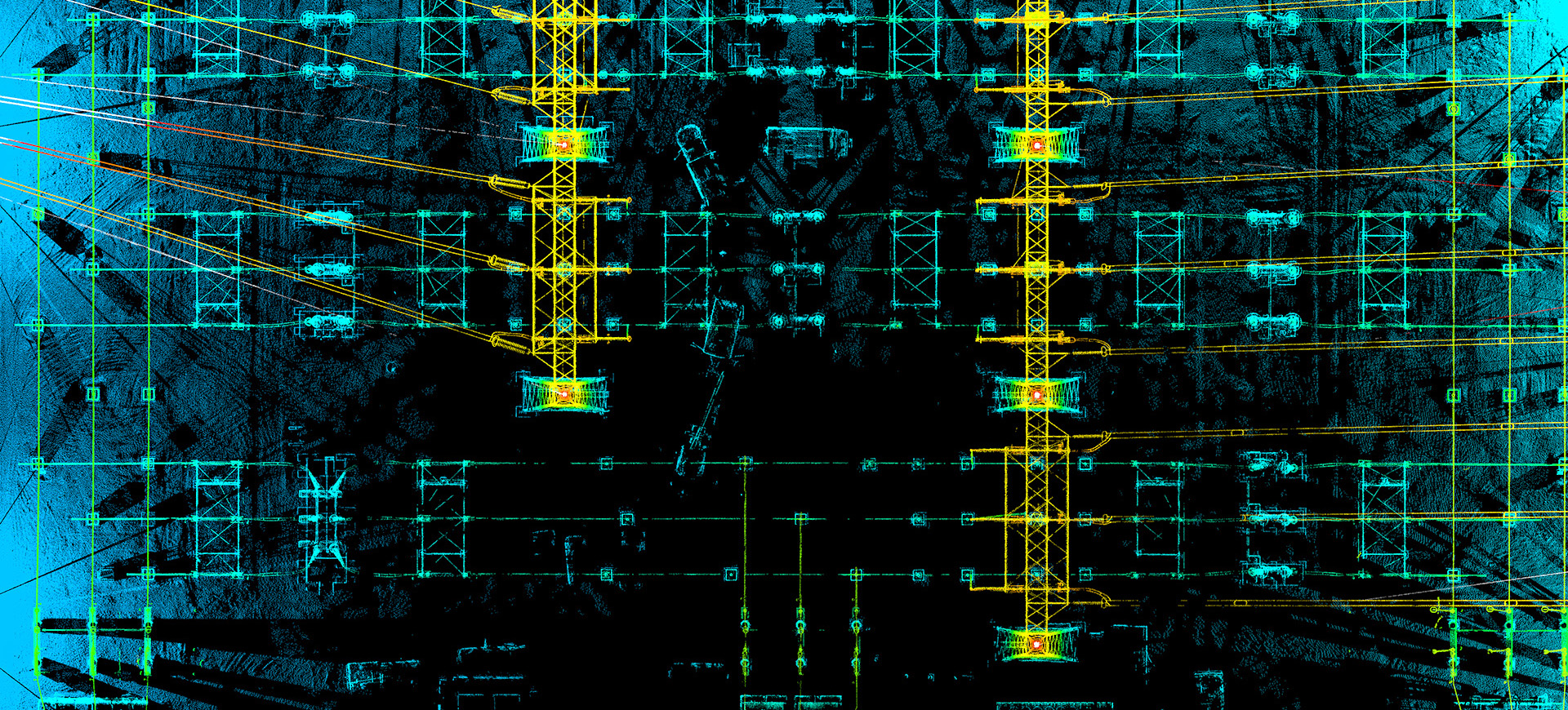
Existing condition documentation is an important aspect of facility management and improvement. Many power and utility locations exhibit complex networks of conduit, piping and supports. This information traditionally requires a team to conduct hands-on measurements over multiple visits.
Terrestrial laser scanning offers a unique solution by providing a visual and measurable data product in a quick and safe manner. The position, dimension, and orientation of any feature can be identified through the point cloud with incredible accuracy(5mm) safely from a desk. Most commonly, clash detection through laser scanning has proven considerable value in design workflows.


