Project
The MDC expanded the capacity of the Hartford Water Pollution Control Facility to provide increased treatment of wet weather flows. The new facilities will have the capability of accepting up to 200 million gallons per day (MGD) above the previous maximum of approximately 120MGD. This increase to plant capacity will result in fewer combined sewer overflows into the Connecticut River.
Scope of Work
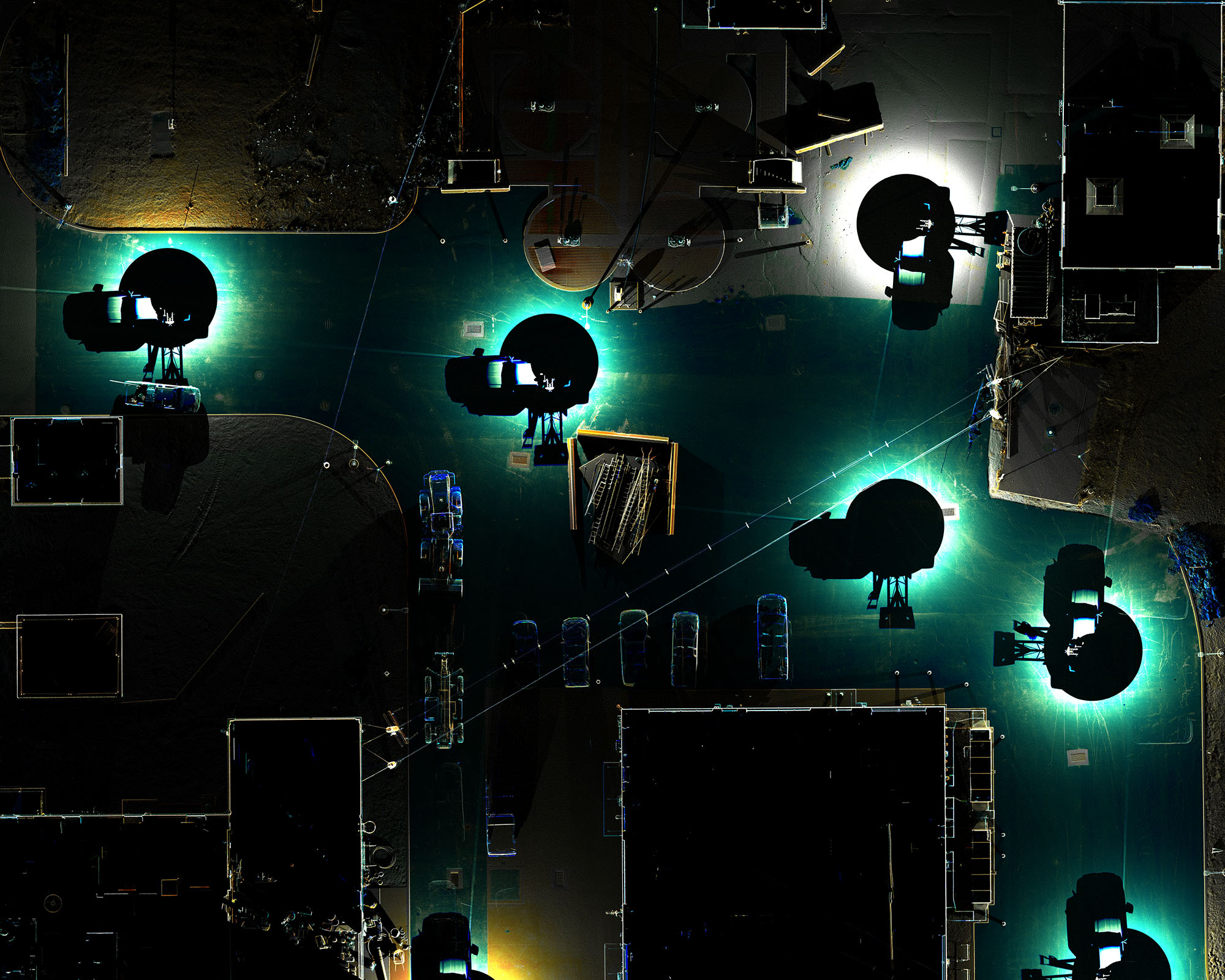
In order for the Contractor to complete project tasks, as-built plans must be produced. ScanX3D scanned all site improvements to develop topographic mapping required by the Contractor. The area of interest was approximately three (3) acres of site work around the new buildings, tanks, and other features.
The Process
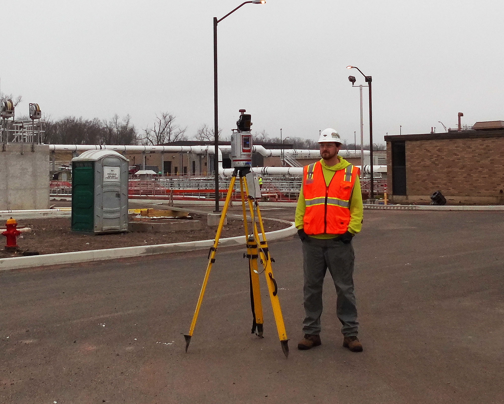
Horizontal and vertical site control was tied into and a control network was established for the scanning process. With reflective targets placed on twenty (20) survey points, the scanner acquired every detail while maintaining the accuracy required. The scanning process took two regular 8 hour days of field work. The first day, the scanner was driven around the site on top of our Topolift mount in the back of a pickup truck. The truck stopped at 40 different locations to collect high definition data. On the second day, the scanner was carried around manually to retrieve additional data. The second round of 40 scans filled in the gaps behind buildings or other inaccessible areas by vehicle. A complete capture of the site in just two days.
Final Deliverable
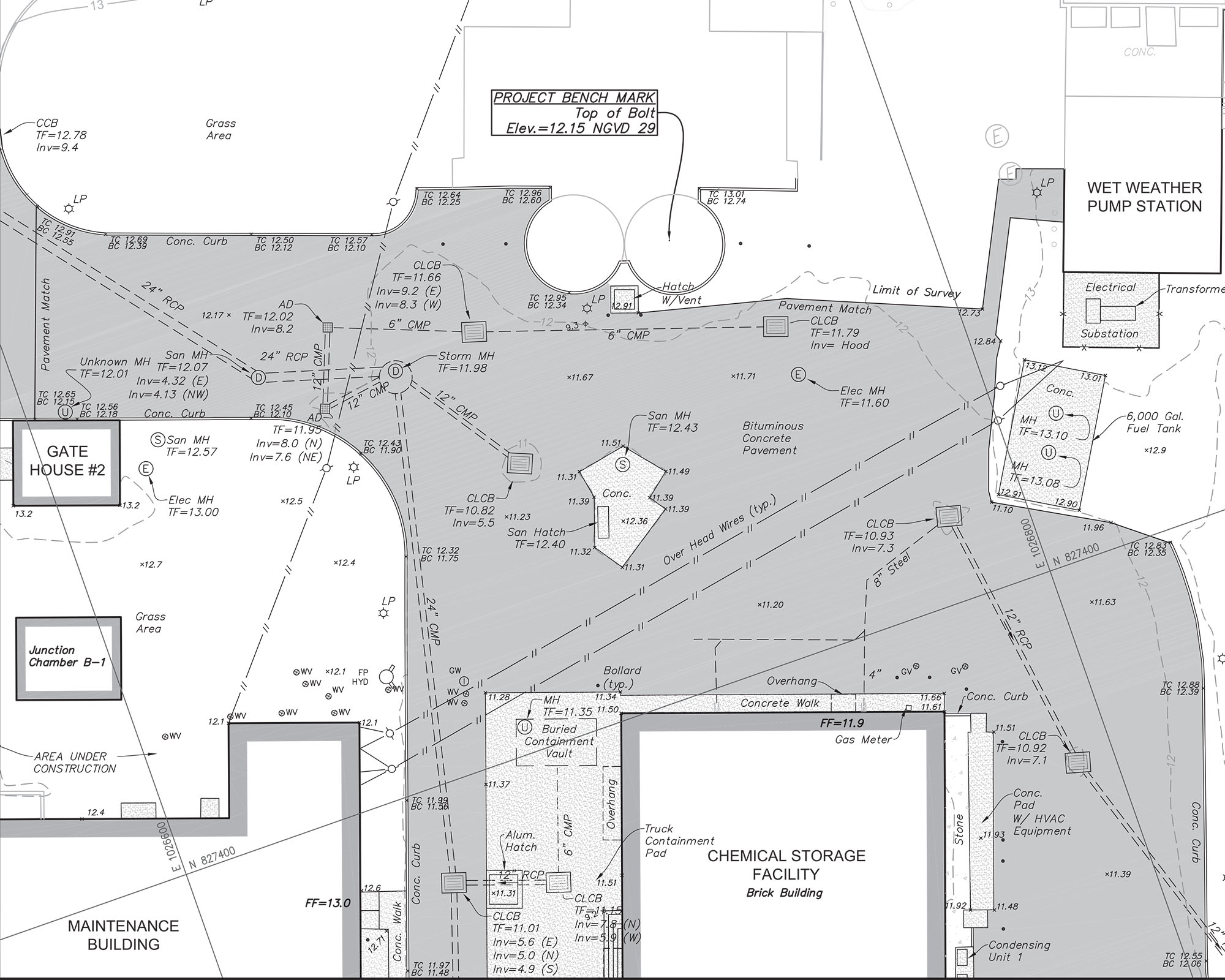
The scans were processed within TopoDot and Civil3D in order to create a final set of plans. A highly accurate 3D topographic surface was created in addition to traditional contours. Providing spot elevations for all concrete pads, curbs, pavement, sidewalks, drainage structures, etc. All utility surface structures were identified and included in final mapping with frame elevations. Underground piping improvement locations by others were compiled with the site map as a background. The scans and site map providing context to where the underground utilities reach the surface. A complex site such as this one really shows off the efficiency of laser scanning. Minimal site visits were required without missing a single feature.


