Project
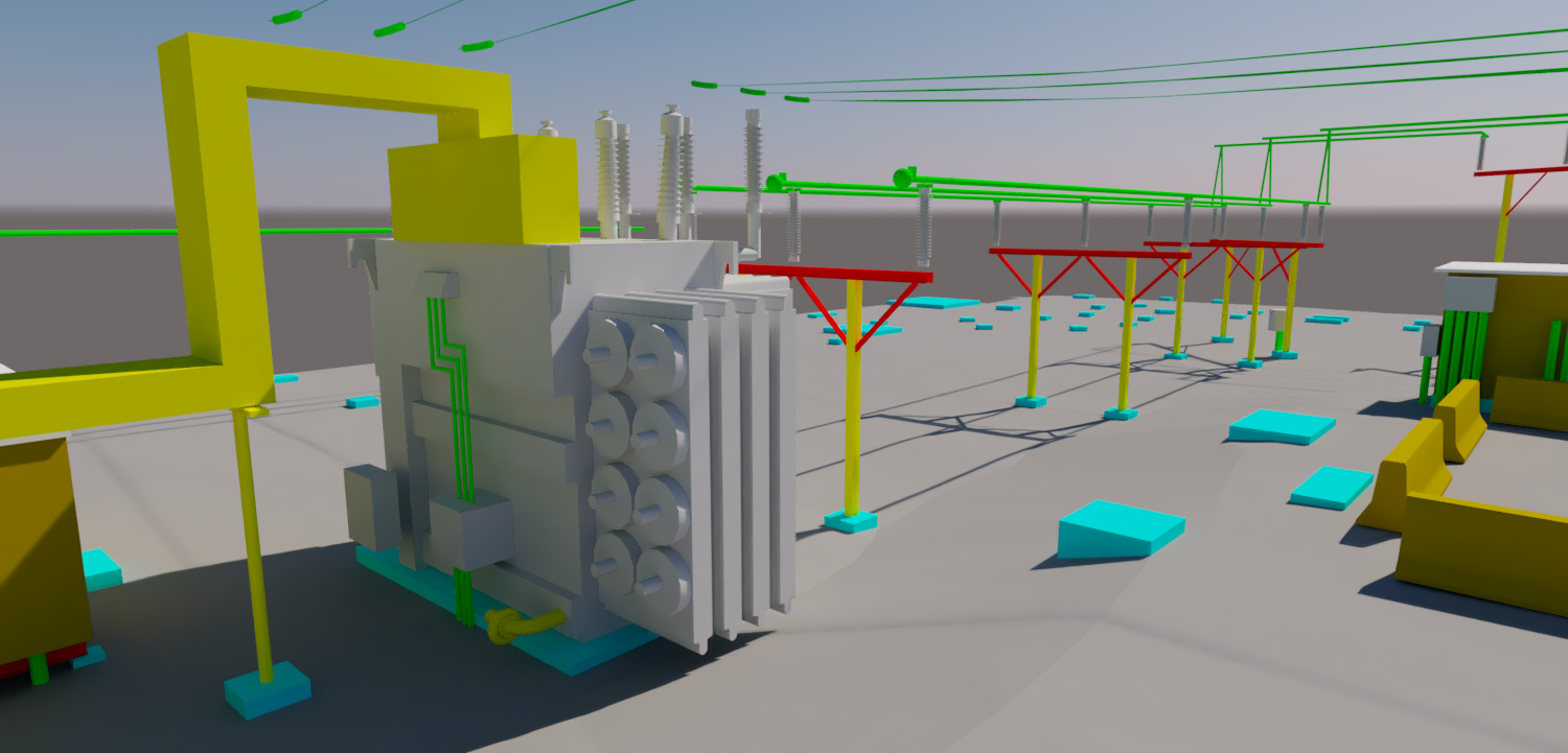
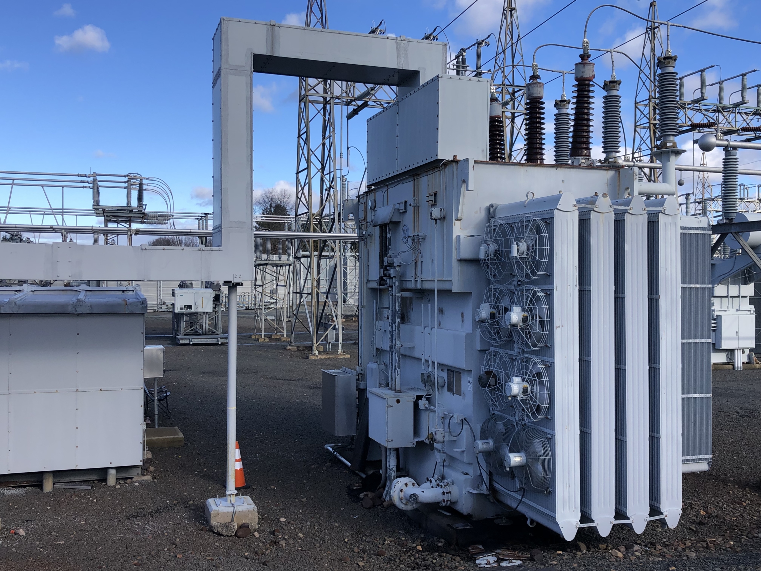
Multiple electrical substations are undergoing re-design/ upgrades. ScanX3D was contracted to perform laser scanning, mapping & 3D modeling of existing assets.
Operations
Horizontal and vertical control was established using GNSS, robotic total station, and digital level around and within the site. A boundary survey was being performed at the same time as scanning. The control points were observed while scanning to reference the scans on the same coordinate system. The scanner captured lidar data and images of all assets within the substation while maintaining safe distances from electrical hazards. The pointcloud was registered in RiScan Pro and imported to Microstation (TopoDOT) for modeling. Starting with the ground surface / contours, each piece of equipment was assembled piece by piece in the digital environment to create a digital twin of the site. All wires were extracted going in and out of the station.
Deliverables
Final solid AutoCAD model (.dwg) files were sent to the client. In addition, the clean registered pointclouds with images were published in Leica’s .LGS file format and Autodesk Recap format (.rcp) to be used by the design team.


